top of page

Using Remote Sensing to Monitor Vegetation Change
A look at what is causing vegetation loss around the world and how we measure it.
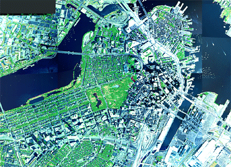

Boston, Massachusetts
Image:USDA


Amazon River Basin during dry season
Image: University of Arizona Terristrial Biophysics and Remote Sensing Lab
Central Park in New York, NY
Image: Columbia University
Alaska NDVI in Summer
Image: University of Alaska, Fairbanks

Forest Fire in a commercial logging area in Brazil.
Image: NASA

Processed by NASA to illustrate deforestation in the Amazon Basin
Image: NASA
bottom of page